Downloaden Sie, um offline zu lesen


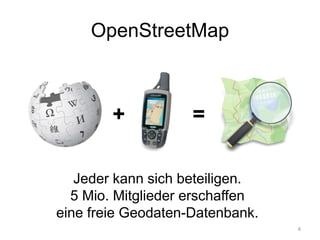
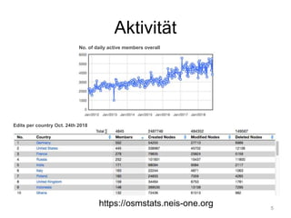
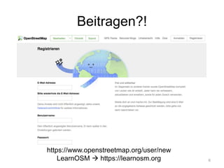
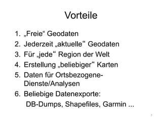
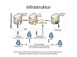
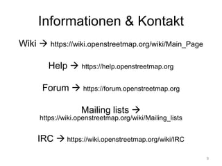
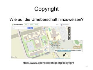


Das Dokument beschreibt die Nutzung von OpenStreetMap (OSM) im Rahmen von Coding da Vinci, einer Initiative zur Verwendung von offenen Geodaten. OSM bietet eine Plattform, auf der Nutzer Daten beisteuern und für verschiedene Anwendungen verwenden können, einschließlich Kartenerstellung und ortsbezogener Dienste. Es werden außerdem technische Informationen und Ressourcen zur Nutzung der OSM-Daten und -Dienste bereitgestellt.


