Downloaden Sie, um offline zu lesen
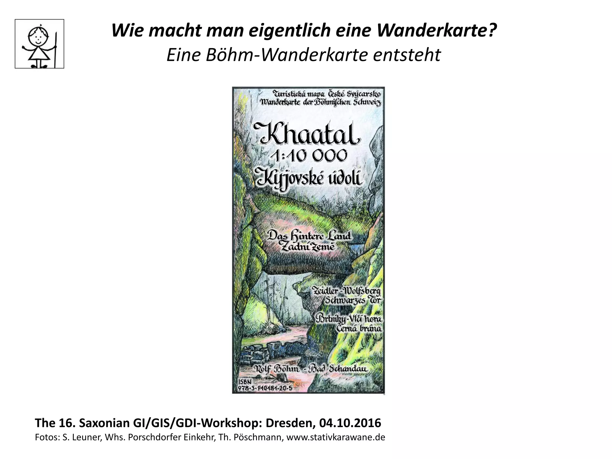


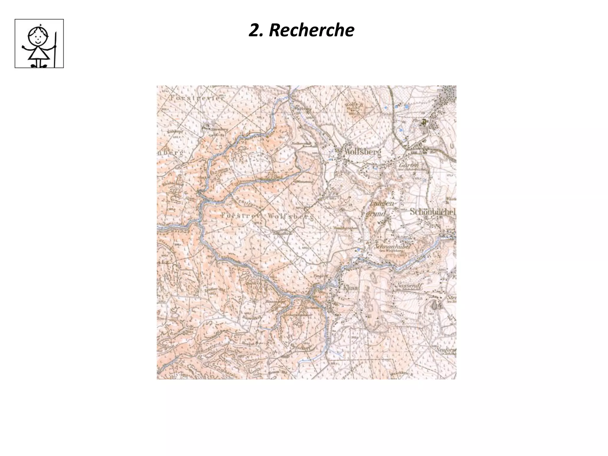
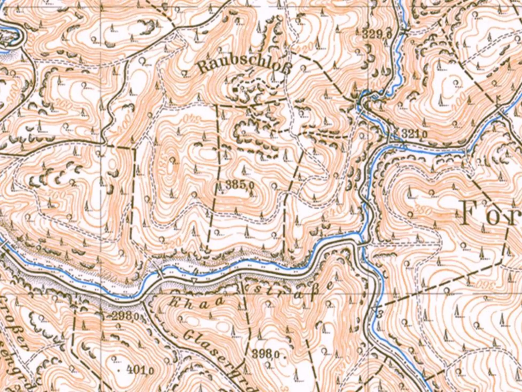
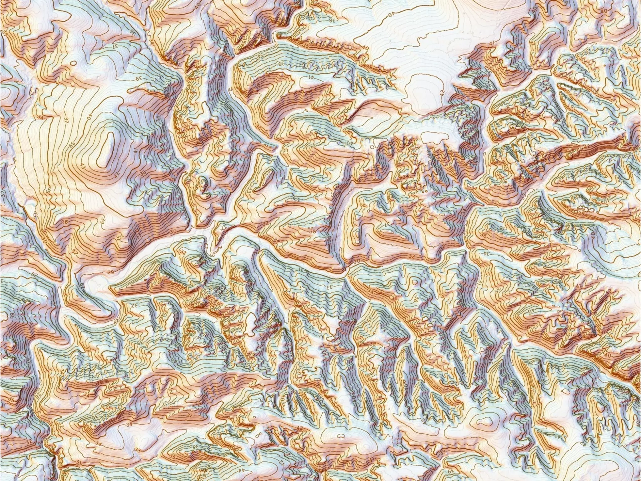


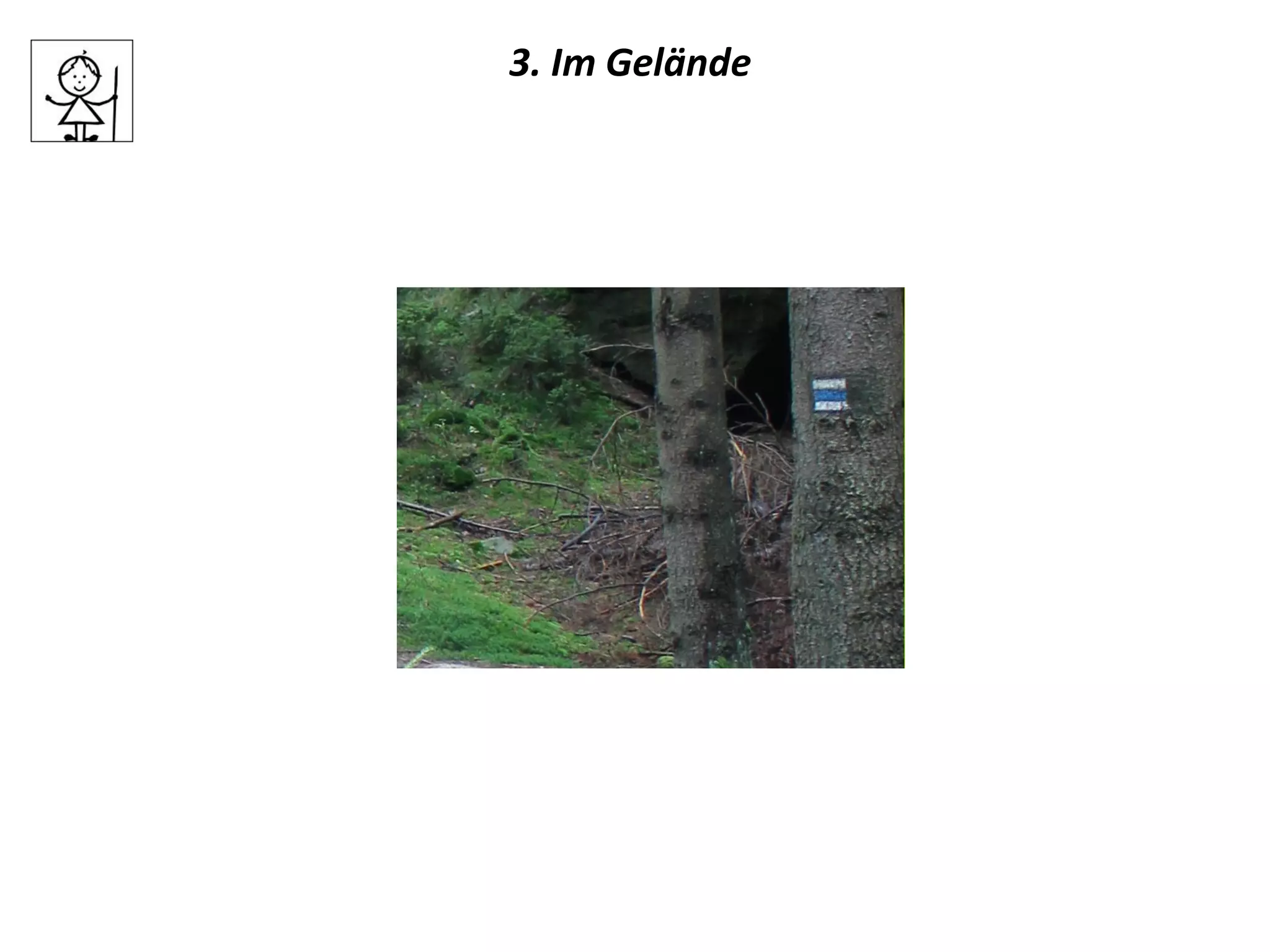
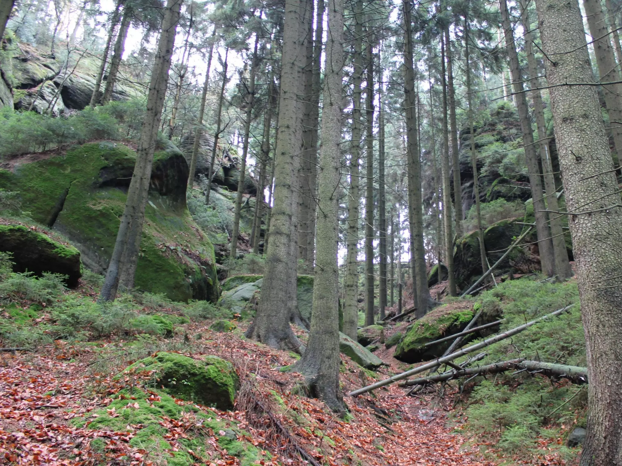
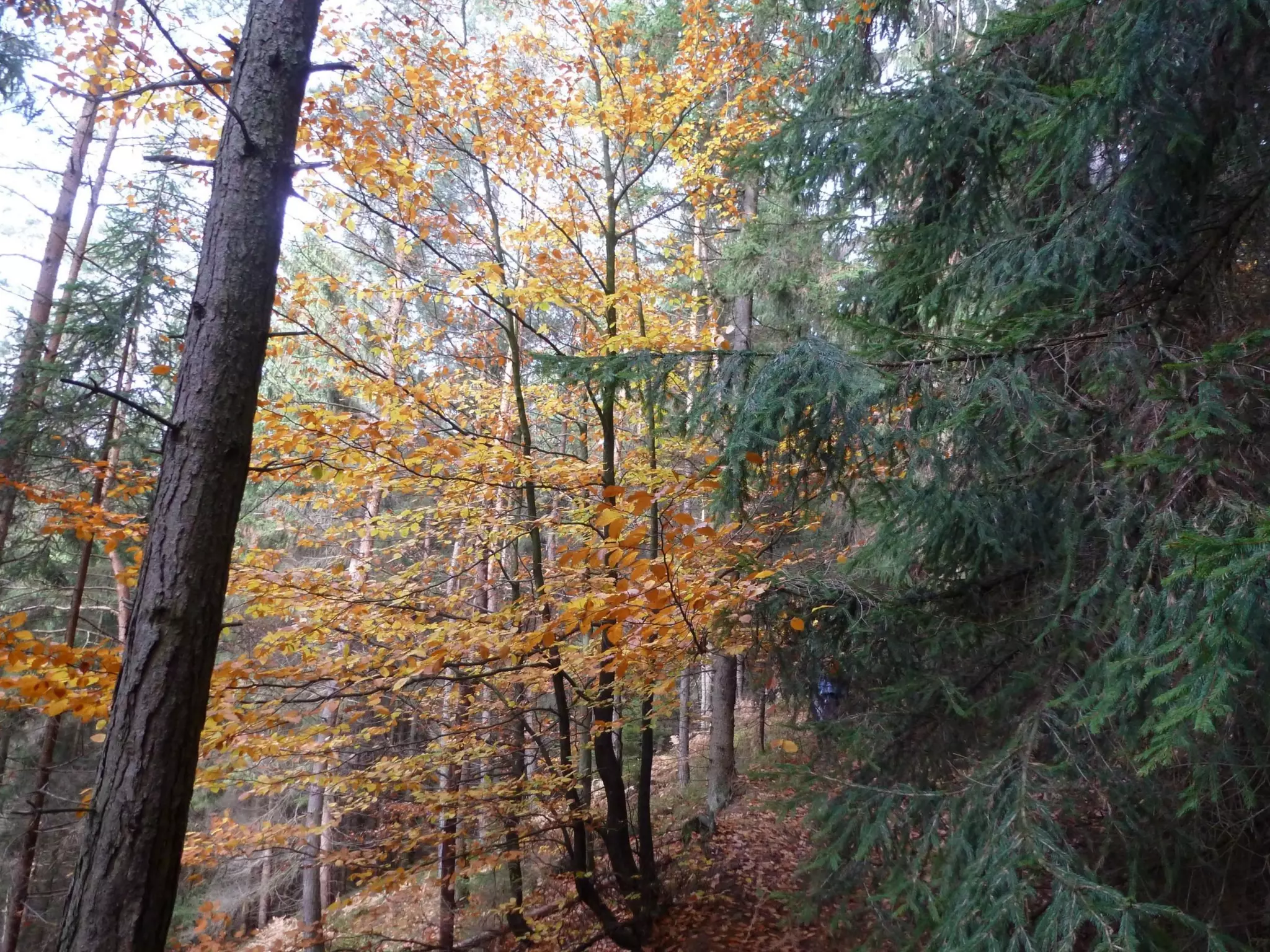
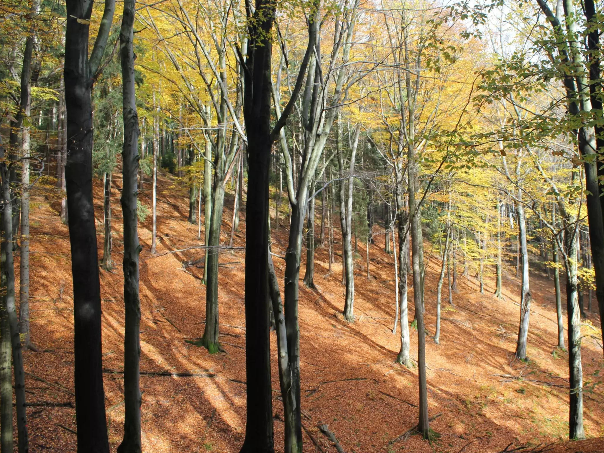
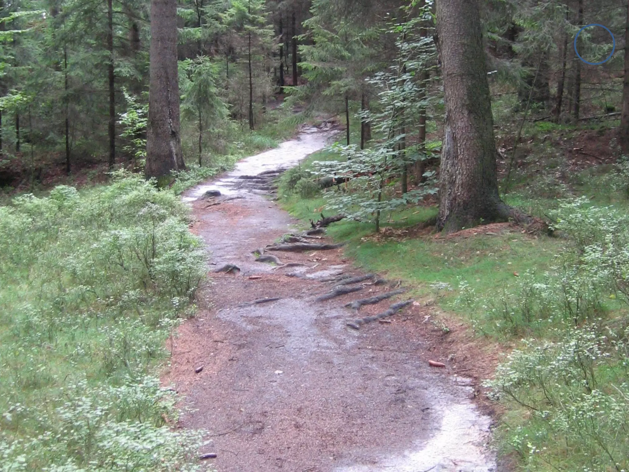
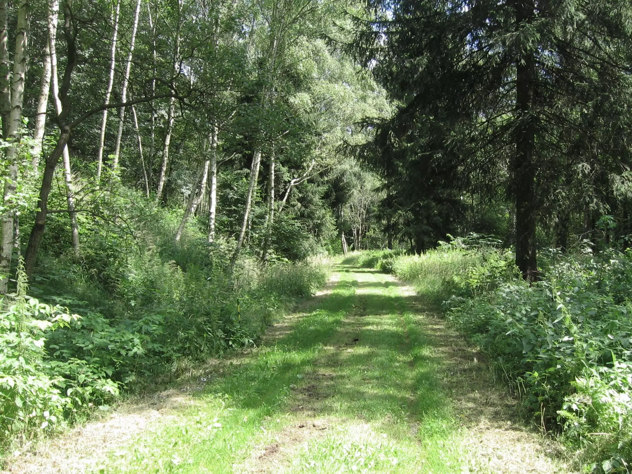
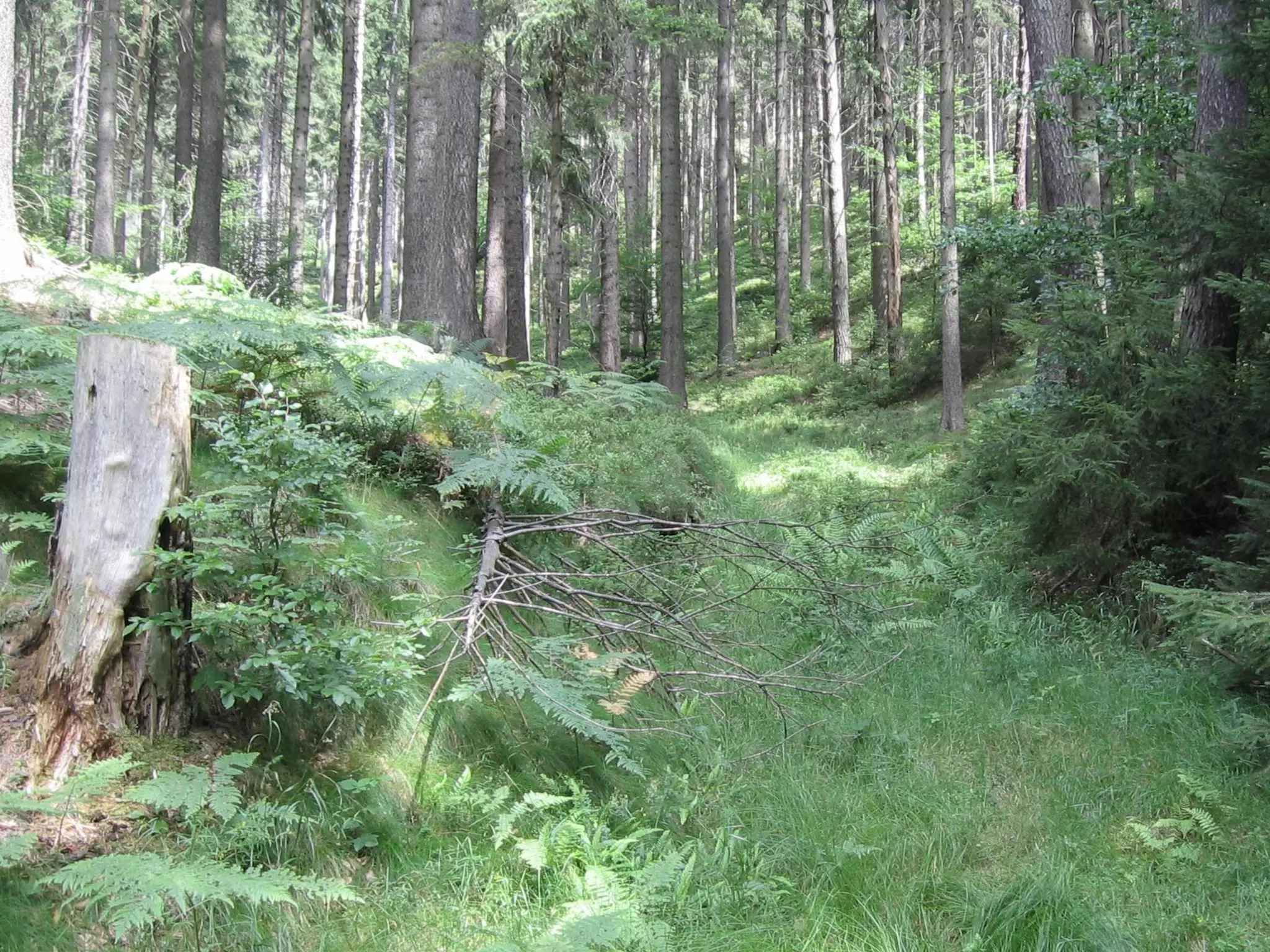
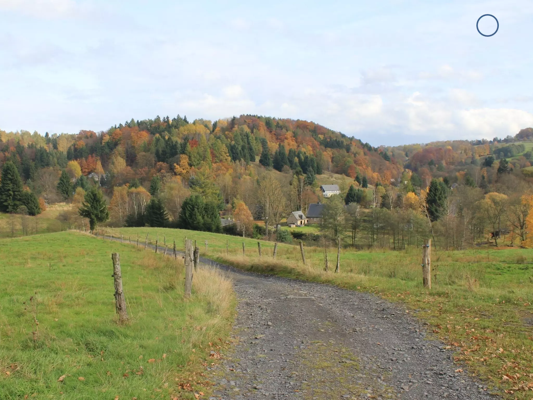
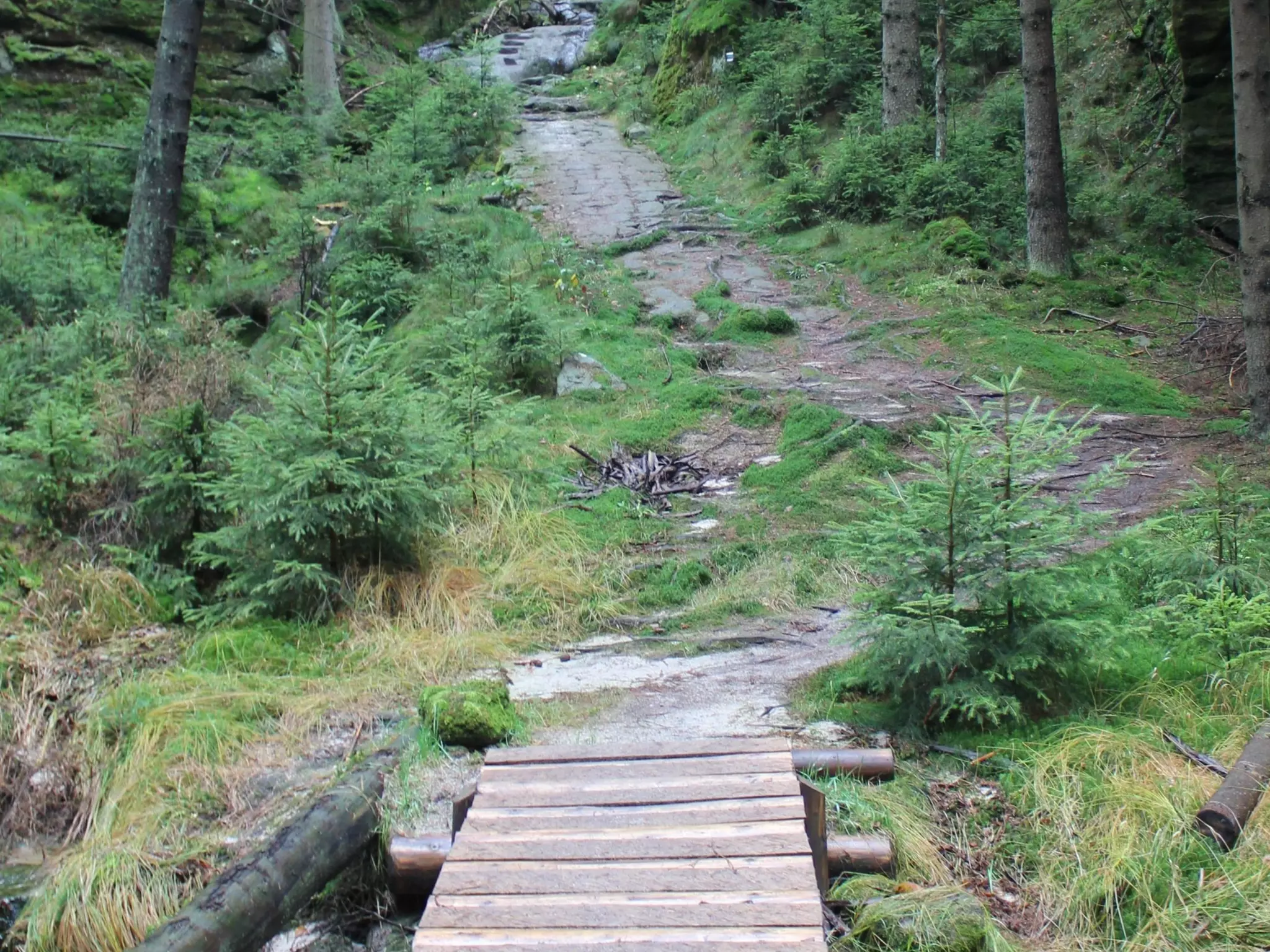
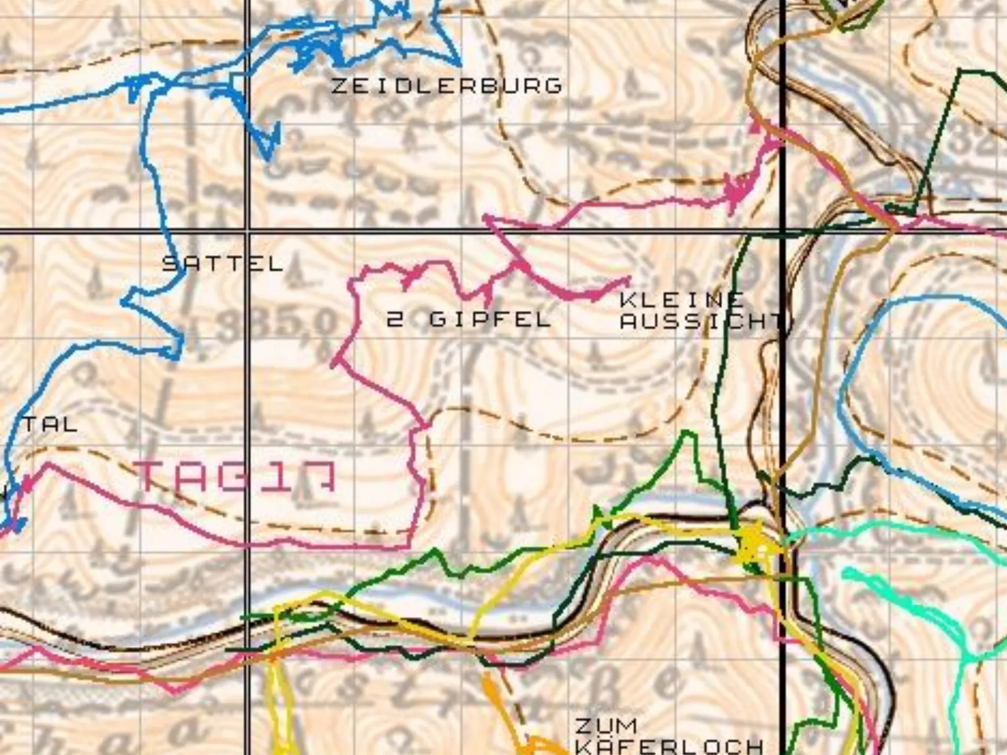
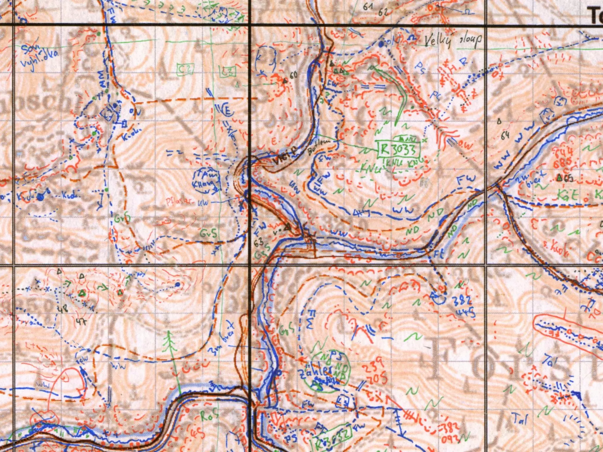
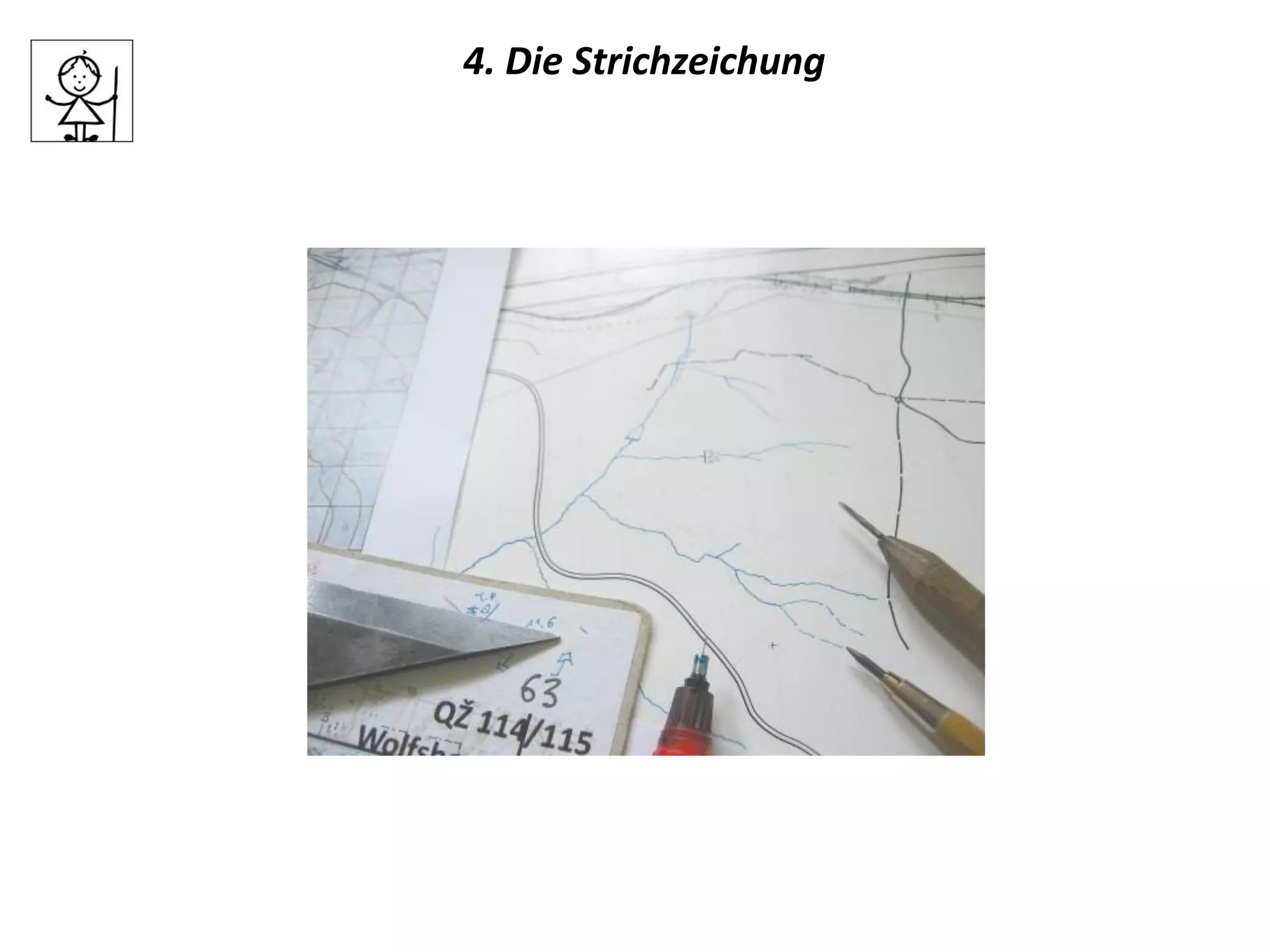

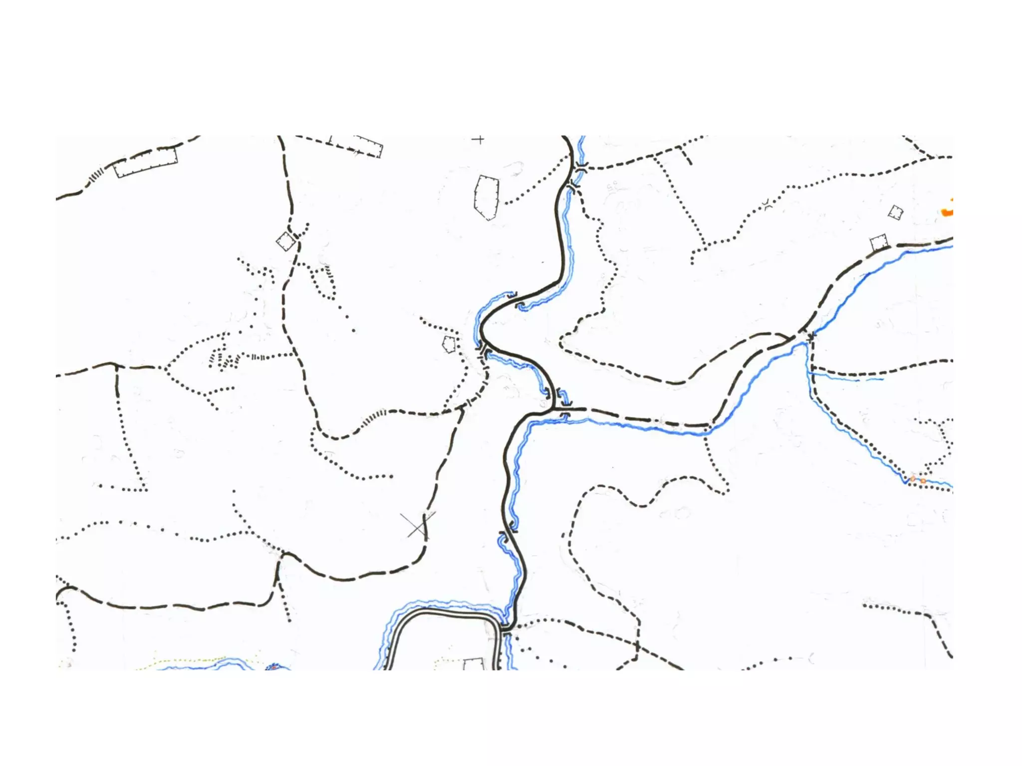
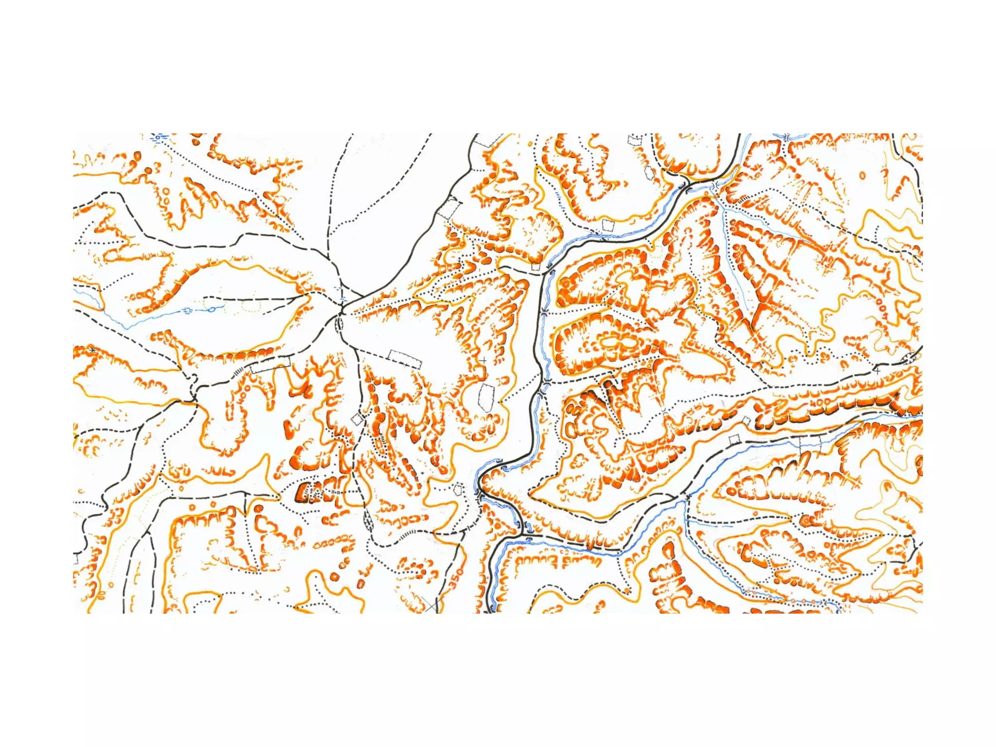
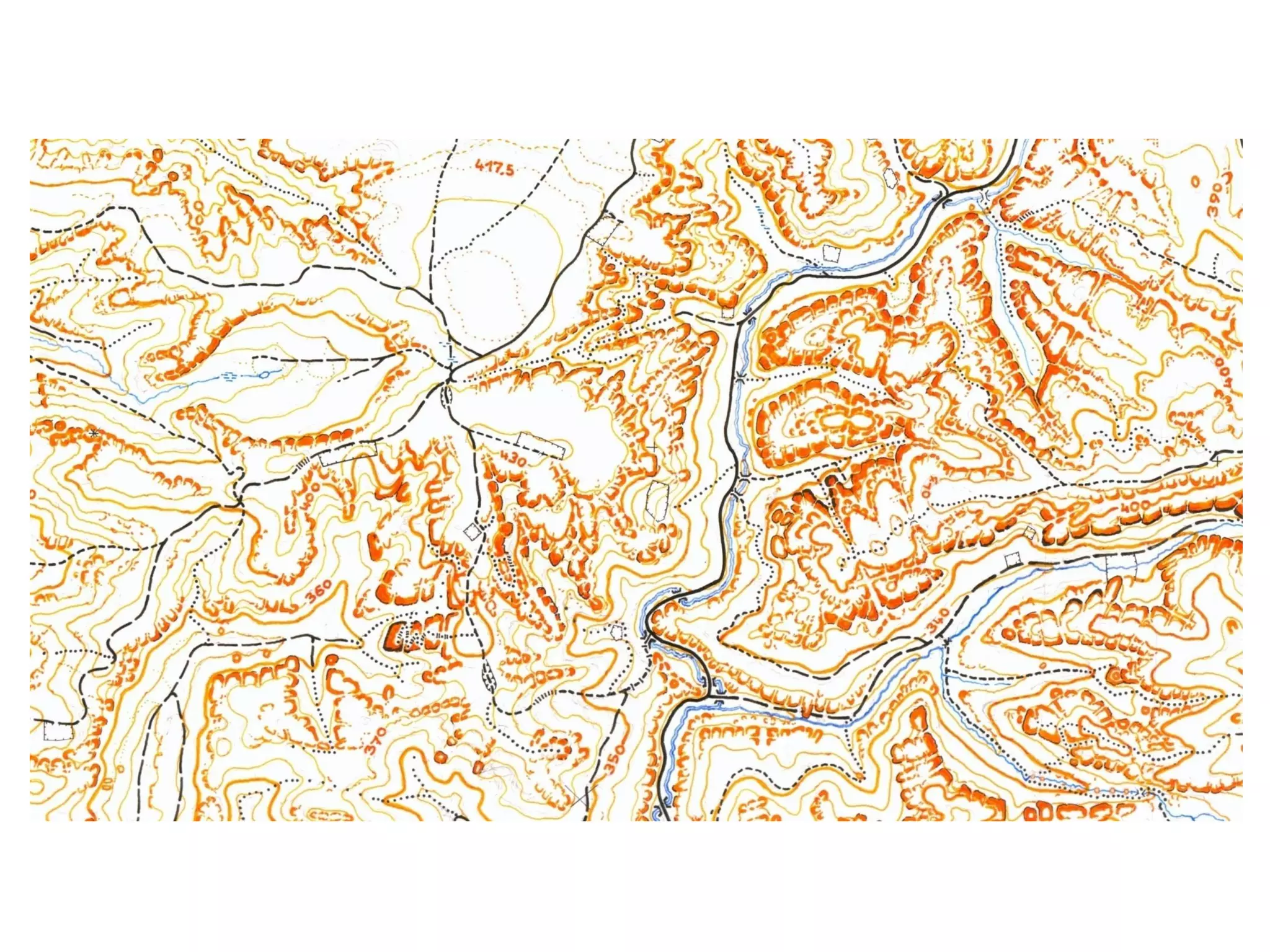
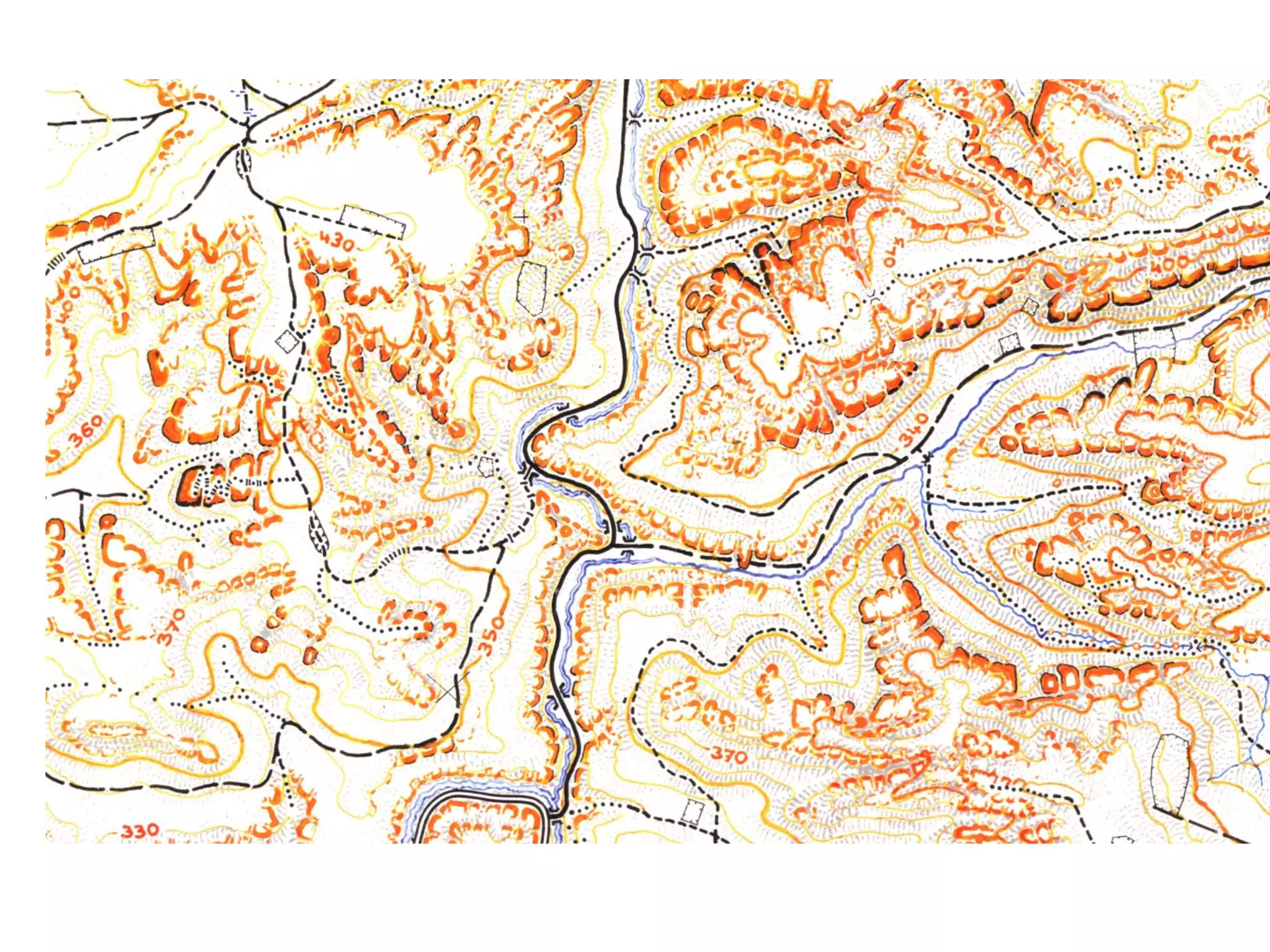
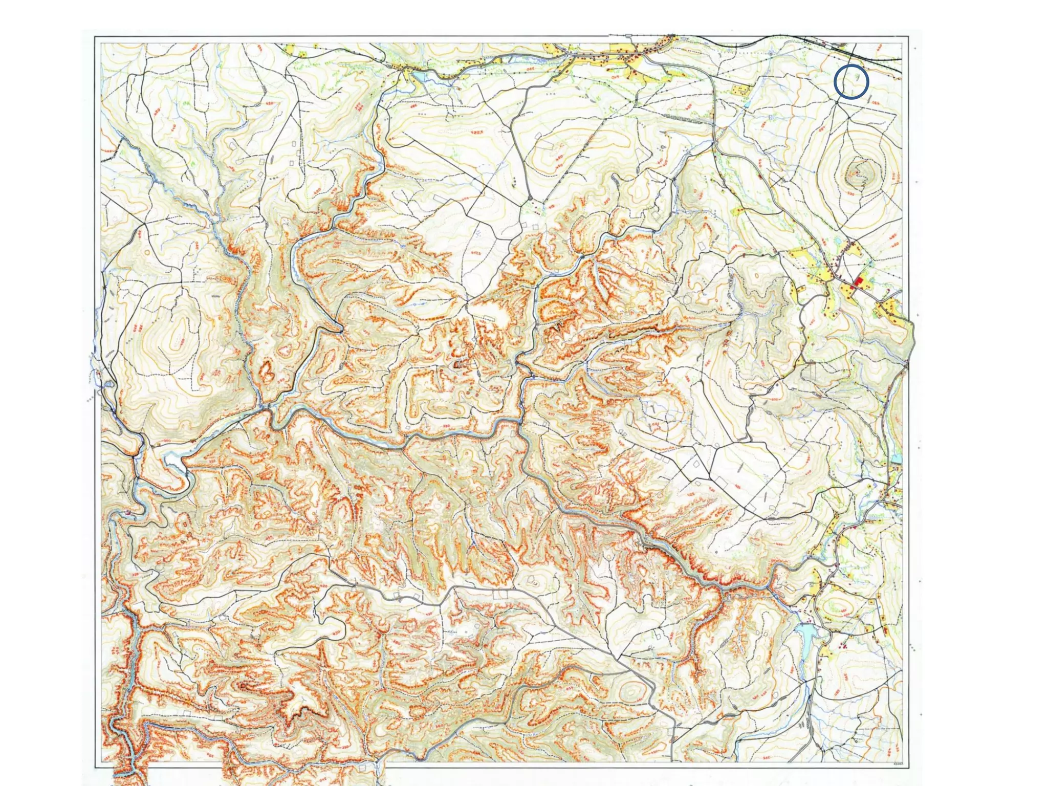
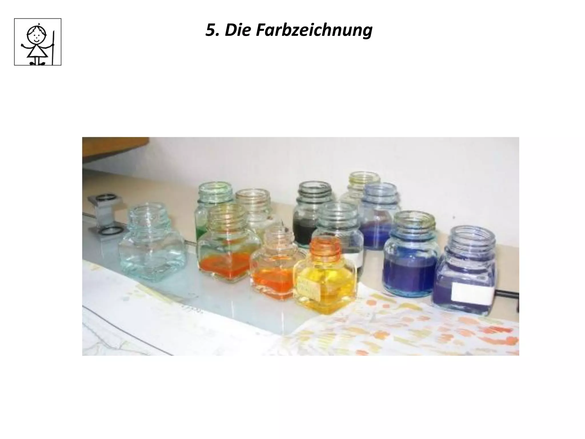
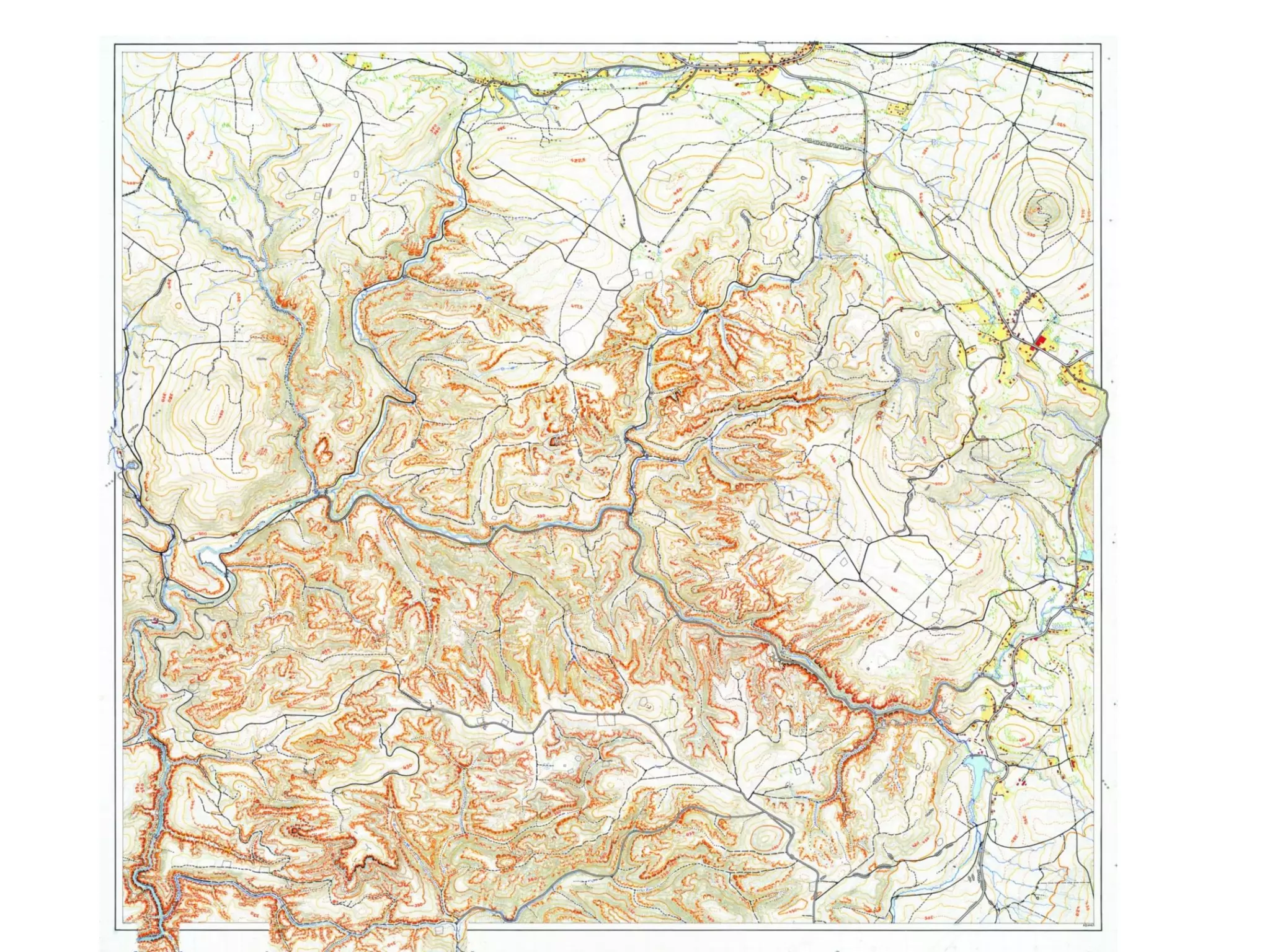
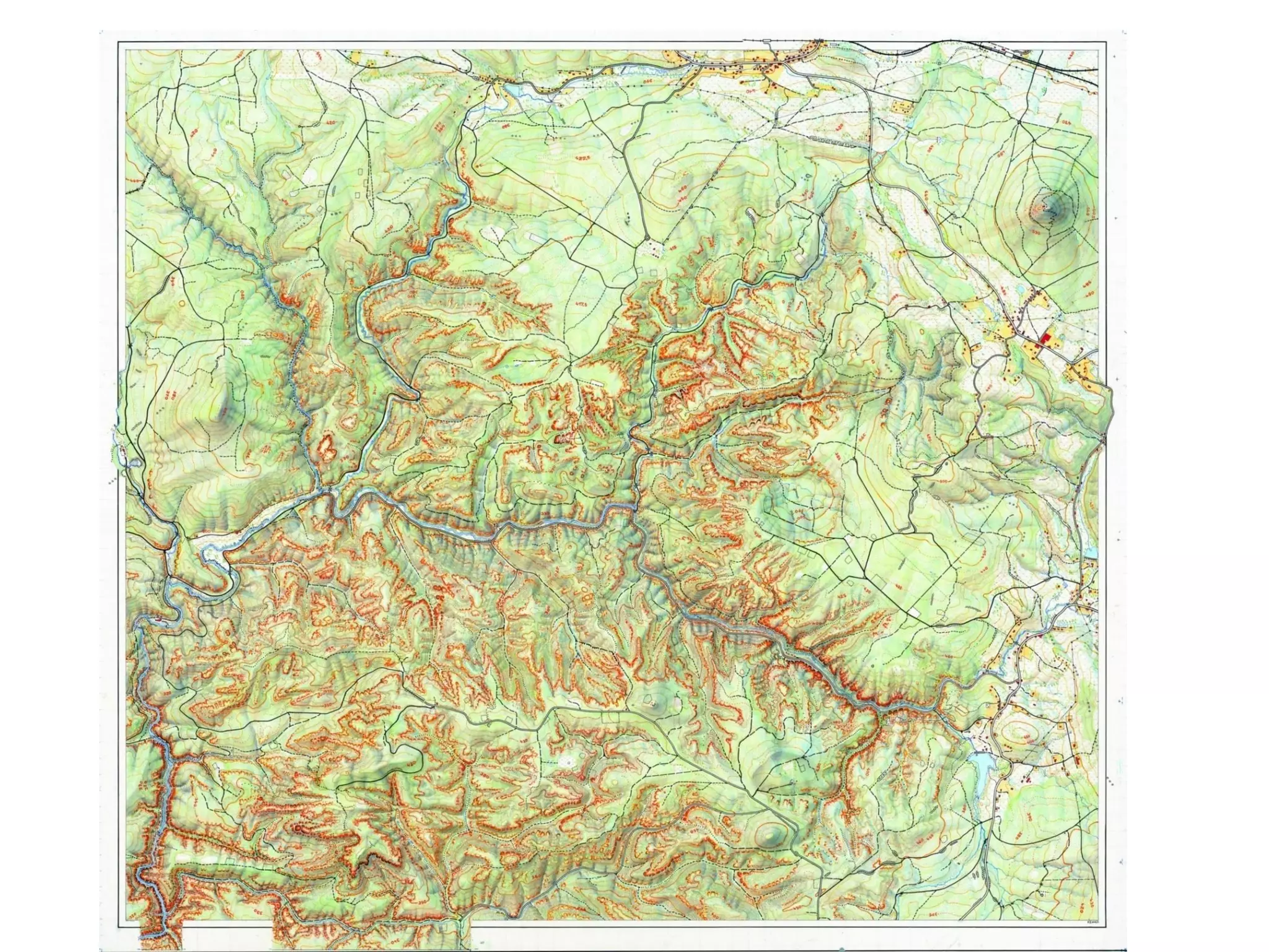

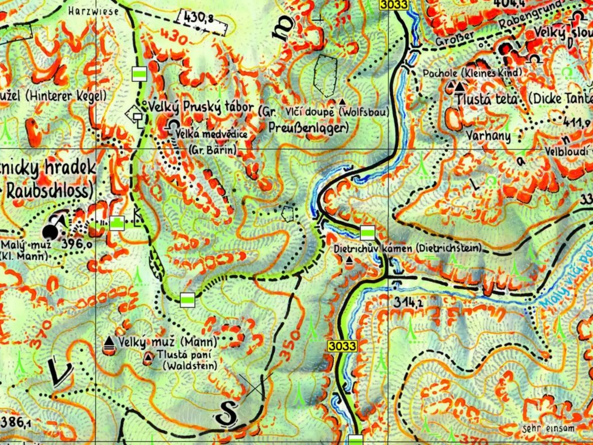
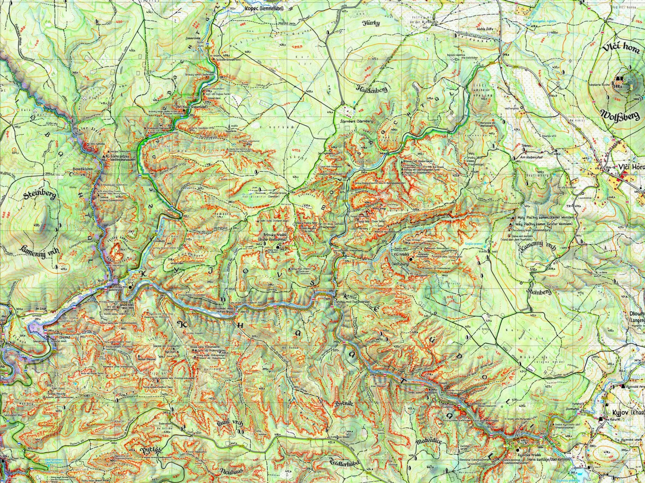

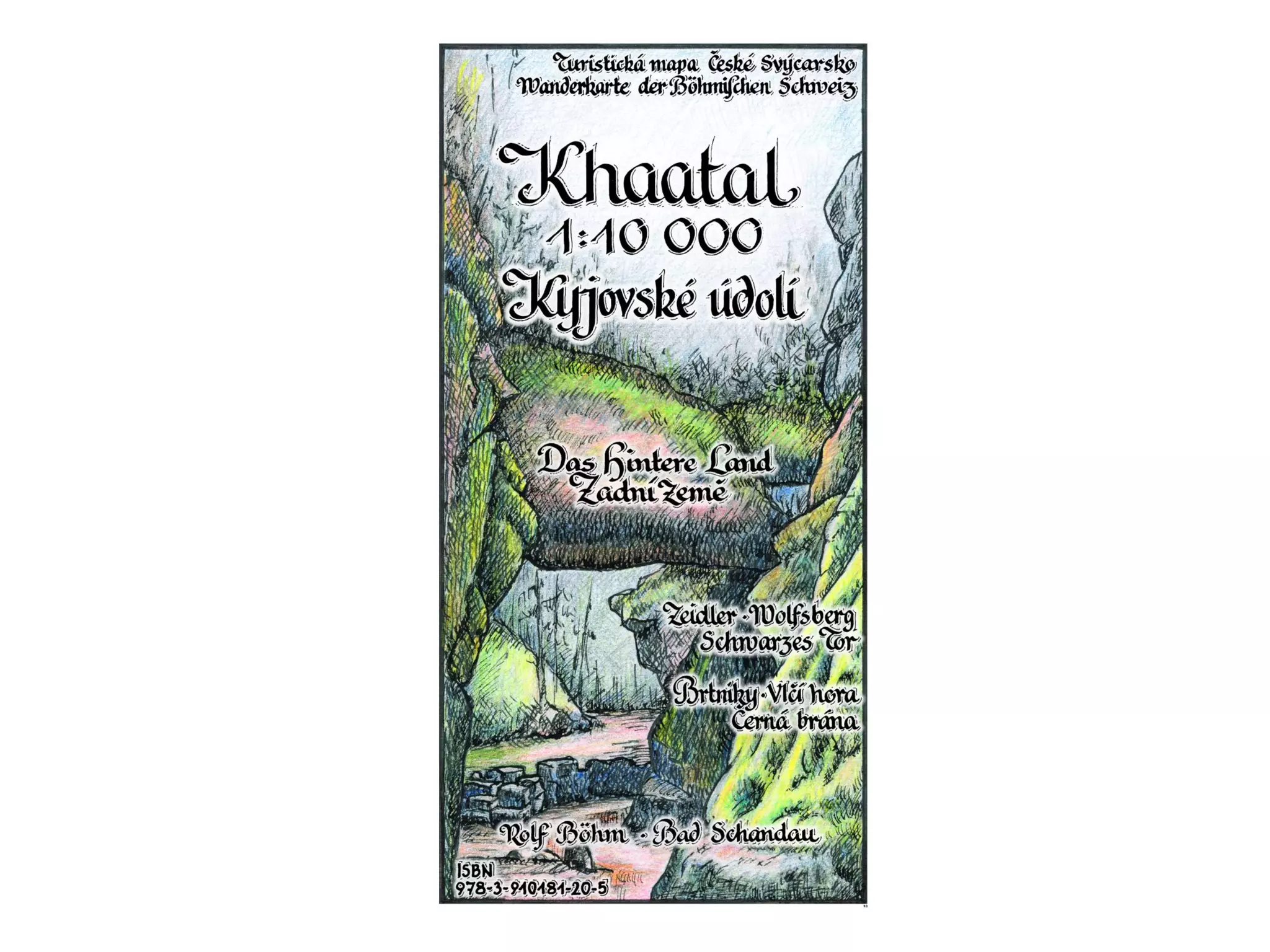


Die Erstellung einer Wanderkarte umfasst mehrere Schritte, beginnend mit der Ideenfindung, gefolgt von Recherche und dem Erforschen des Geländes. Anschließend wird eine Strichzeichnung angefertigt, gefolgt von einer Farbzeichnung, bevor die endgültige Karte hergestellt wird. Das Dokument behandelt diese Schritte detailliert im Kontext des 16. Saxonian GI/GIS/GDI-Workshops in Dresden.


