OpenWare ThinkGIS
•Als DOCX, PDF herunterladen•
0 gefällt mir•524 views

Me on pp. 13, 14 of Issue 1, Fall 2011, 1 Oct 2011

Empfohlen
Empfohlen
Weitere ähnliche Inhalte
Andere mochten auch
Ähnlich wie OpenWare ThinkGIS
Ähnlich wie OpenWare ThinkGIS (20)
Mehr von Andrew Zolnai
Mehr von Andrew Zolnai (20)
Kürzlich hochgeladen
Kürzlich hochgeladen (20)
OpenWare ThinkGIS
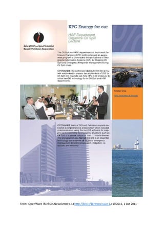
- 1. From: OpenWare ThinkGISNewsletterp.13http://bit.ly/1EHroos,Issue 1, Fall 2011, 1 Oct 2011
- 2. Hi, my name is Andrew Zolnai, Business Development Manager for Oil & Gas Sector. As a geologist I always found it important to relate powerful software back to every-day necessities: “It can do all this… but what can it do for my Asset Team?” In each issue we will post in this column an expert’s opinion, in order to prompt you to ask questions and get back to us. Did you know how much you can do with the GIS tools your already have at hand? This has been presented at the recent Petroleum User GroupCommon Analytic Workflows for the PUG Community- ?What Comes in the Box. My blog posts “Simple Reservoir Depletion Modeling” describe how Model Builder, which comes out-of-the-box in the Spatial Analyst extension, is used for subsurface 3D geologi- cal modeling: not intended to replace full reservoir modeling, you add the know- how while Esri provide the tools... and there is no programming! And did you know that ArcGIS Explorer is the best way to display your 3D layer package files? rCreating 3D cross sections for use in ArcGIS ExploreNot only is it the easiest way to display 3D data that is so visually compelling, but you can also distribute your data for free throughout your organization via the web. Users who have neither GIS knowledge nor ArcGIS software, will appreciate the powerful yet simple and intuitive user interface. Contact the Author: a.zolnai@openware.com.kw blog.zolnai.ca A word from an OPENWARE GIS Expert From:OpenWare ThinkGISNewsletterp.14http://bit.ly/1EHroos,Issue1, Fall 2011, 1 Oct 2011