Rolta Advanced GIS Tool
•
1 gefällt mir•122 views

Rolta’s Advance GIS is a great tool for collecting GIS data and then processing this data to build precise maps. This document highlights some core features and benefits of this tool.

Empfohlen
Empfohlen
Weitere ähnliche Inhalte
Andere mochten auch
Andere mochten auch (12)
Ähnlich wie Rolta Advanced GIS Tool
Ähnlich wie Rolta Advanced GIS Tool (20)
Mehr von Rolta
Mehr von Rolta (20)
Kürzlich hochgeladen
Kürzlich hochgeladen (20)
Rolta Advanced GIS Tool
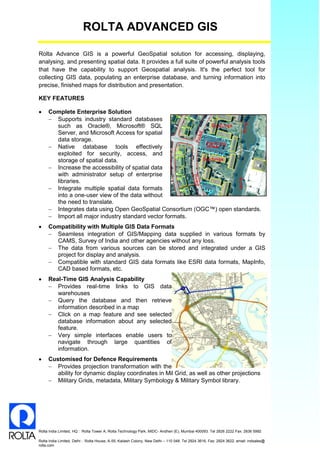
- 1. ROLTA ADVANCED GIS Rolta India Limited, HQ : Rolta Tower A, Rolta Technology Park, MIDC- Andheri (E), Mumbai 400093. Tel 2826 2222 Fax: 2836 5992 Rolta India Limited, Delhi : Rolta House, A-55, Kailash Colony, New Delhi – 110 048. Tel 2924 3616, Fax: 2924 3622, email: indsales@ rolta.com Rolta Advance GIS is a powerful GeoSpatial solution for accessing, displaying, analysing, and presenting spatial data. It provides a full suite of powerful analysis tools that have the capability to support Geospatial analysis. It's the perfect tool for collecting GIS data, populating an enterprise database, and turning information into precise, finished maps for distribution and presentation. KEY FEATURES Complete Enterprise Solution Supports industry standard databases such as Oracle®, Microsoft® SQL Server, and Microsoft Access for spatial data storage. Native database tools effectively exploited for security, access, and storage of spatial data. Increase the accessibility of spatial data with administrator setup of enterprise libraries. Integrate multiple spatial data formats into a one-user view of the data without the need to translate. Integrates data using Open GeoSpatial Consortium (OGC™) open standards. Import all major industry standard vector formats. Compatibility with Multiple GIS Data Formats Seamless integration of GIS/Mapping data supplied in various formats by CAMS, Survey of India and other agencies without any loss. The data from various sources can be stored and integrated under a GIS project for display and analysis. Compatible with standard GIS data formats like ESRI data formats, MapInfo, CAD based formats, etc. Real-Time GIS Analysis Capability Provides real-time links to GIS data warehouses Query the database and then retrieve information described in a map Click on a map feature and see selected database information about any selected feature. Very simple interfaces enable users to navigate through large quantities of information. Customised for Defence Requirements Provides projection transformation with the ability for dynamic display coordinates in Mil Grid, as well as other projections Military Grids, metadata, Military Symbology & Military Symbol library.
- 2. ROLTA ADVANCED GIS Rolta India Limited, HQ : Rolta Tower A, Rolta Technology Park, MIDC- Andheri (E), Mumbai 400093. Tel 2826 2222 Fax: 2836 5992 Rolta India Limited, Delhi : Rolta House, A-55, Kailash Colony, New Delhi – 110 048. Tel 2924 3616, Fax: 2924 3622, email: indsales@ rolta.com Scale based viewing, advanced query related display, display of mosaicked data. Manipulate and display simultaneously adjacent vector and raster data – display of 2/4/6/8/10 maps simultaneously. Create, link, manipulate multiple tables, append photos & video clips, etc. Advanced GIS Tools Data Pre Processing tools Easy steps of data pre- processing without any data loss. Automated tools for pre- processing raster and vector data Seamless workflow established for Map and Map Board Creation. Ingestion of different types of Geospatial data. Create Overlay Customized tool to create, load and close overlay with the predefined time stamp for each of the layers. Facility to place all the terrain tactical symbols with proper symbology. Geo-Jump User friendly tools to manually scroll to desired location To jump by important Installation, by Place, by Target,by Long/Lat, etc. Accurate display of desired locations, saving users time & effort Facility to encrypt and decrypt the files to ensure the data security and regular back up. MapBoard Seamless integration of large number of maps. Interactive map selection for map creation Display of tactical and situational awareness Mil Grid Readouts Display of Indian Military grid. On the fly transformation of standard projection to Indian Military Grid. Dynamic Military Grid coordinates readout. Selection of 4/6/8/10 figure Mil grid coordinates. BENEFITS Assists the commanders in timely Decision making Tools to assess early Battle Indicators Assists the Commanders for planning Field Engineering tasks GeoSpatial Analysis for Obstacle Planning