This document introduces a new prioritization tool to help Massachusetts communities identify road segments that are most important for pedestrian and cyclist access to destinations like schools, shops, and parks. The tool uses a proximity-based approach, analyzing data on the number of trips to different destinations from the Massachusetts Travel Survey, Census data on population and households, and locations of destinations. It identifies "high-utility" road segments that connect residential areas to destinations but currently lack features like sidewalks. The tool is intended to inform decisions on infrastructure investments and maintenance. Future improvements may include additional trip types, learning more about municipal applications, and developing it into a fully automated online tool.
(NEHA) Call Girls Katra Call Now 8617697112 Katra Escorts 24x7
Prioritizing Complete Streets -- Utility & Gap Analysis
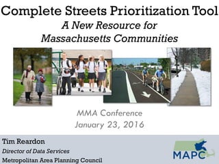
1. Complete Streets Prioritization Tool
A New Resource for
Massachusetts Communities
Tim Reardon
Director of Data Services
Metropolitan Area Planning Council
MMA Conference
January 23, 2016
2. Objectives and Focus of the Tool
Identify which roadway segments are likely to have
greatest utility for pedestrians and cyclists traveling
to certain local destinations? (“Latent demand”)
• Shopping, Services, Restaurants
• Schools
• Open Space
Present information in a way that can inform
municipal decisions about capital investments,
maintenance, and operations
• Sidewalk construction / reconstruction
• ADA compliance efforts
• Bike lanes
• Snow clearance / enforcement
5. Going to school
Massachusetts
Travel Survey
How many trips
per school-age
child?
How many
school-age children
live here?
How many school
trips begin here?
How many school
trips end here?
Department of Education
Where do children
go to school?
2010 Census
6.
7. Going shopping
Massachusetts
Travel Survey
How many
shopping trips
per household?
2010 Census
How many
households?
How many shopping
trips begin here?
How many shopping
trips end here?
Where do people
go to shop?
Business locations (InfoGroup)
8.
9. Going to the park
Massachusetts
Travel Survey
How many outdoor
recreation trips per
household?
2010 Census
How many
households?
How many outdoor
rec. trips begin
here?
How many outdoor
rec trips end here?
Where are the
parks and walking
trails?
MassGIS, DCR, MAPC
17. Next Steps / Future Improvements
Add more trip types/destinations
• Transit
• Workplaces
Learn more about potential municipal
applications
Move toward fully automated online tool with
functionality for local officials to modify inputs
and tailor to local conditions.