
Empfohlen
Weitere ähnliche Inhalte
Was ist angesagt?
Was ist angesagt? (20)
Ähnlich wie Global mapper
Ähnlich wie Global mapper (20)
Kürzlich hochgeladen
Kürzlich hochgeladen (20)
Global mapper
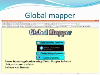
- 1. Global mapper Smart Survey Application using Global Mapper Software Infrastructure analysis Salman Naji Dawood
- 2. Overview NASA - National Aeronautics and Space Administration Global Mapper Equally well suited as a standalone spatial data management tool and as an integral component of an enterprise- wide GIS, Global Mapper is a must-have for anyone who works with maps or spatial data. Low-cost and easy-to-use GIS Supports over 250 spatial data formats Optional LiDAR Module for powerful point cloud processing Advanced projection management using GeoCalc library* Unmatched and complimentary technical support
- 3. Global Energy Mapper Feature Extension Plugin Support 3D Data Data Importing / Exporting Spatial Database Support LiDAR Point Clouds Access to Online Data
- 4. Google Earth Support Image Rectification Geocoding Graph and Chart Manager Digitizing Feature Rendering Scripting Terrain Analysis Data Processing GPS Tracking Raster Calculator
- 5. Map Street Baghdad with coordinates.
- 6. Shuttle Radar Topography Mission (SRTM) EDM
- 7. Map Street Baghdad with two layer Shuttle Radar (SRTM) EDM
- 9. Advanced LiDAR processing and terrain surface modeling
- 11. Powerful well pad placement function
- 12. 3D terrain and vector modeling
- 13. Raster processing and image rectification
- 15. Terrain profiling and line of sight analysis
- 16. Advanced digitization and drawing functions
- 17. Leveraging LiDAR for Terrain Analysis
- 18. Profile from Global Mapper
- 19. Excel point from Global Mapper X,Y,Z, Distance , Slop
- 20. Profile AutoCAD Civil 3D from Data Global Mapper
- 21. Global Mapper showing satellite layer, stream layer, and bridge files layers
- 22. Global Mapper showing DEM Digital Elevation Model, LiDAR, and bridge file layers
- 23. Profile & Design from Global Mapper
- 24. 3D Visualization in GM (Road 3D, Bridge 3D, RPW 3D)
- 25. Thank you…