1) OpenStreetMap is a free and open collaborative project to create a map of the world. It allows for voluntary contributions and open use of map data.
2) OpenStreetMap imports publicly available geospatial data and allows for collaborative mapping through online and offline tools. It has been used in humanitarian responses to enable rapid mapping.
3) OpenStreetMap sees opportunities to partner with UNSDI to explore sharing and serving data, apply outcomes to operations and training, and solve issues within a collaborative spatial data infrastructure.
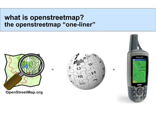
1. = + what is openstreetmap? the openstreetmap “one-liner”
2. free and open voluntary map of the world. open contribution. open use. voluntary, open contributions open use
3. THE SOLUTION GeoRSS/KML P2P Paper Maps Ham Radio SMS/Twitter Pre-Event Data Store Remote Sensing Rapid Deploy “ Common Operating Picture” Collaborative Map Platform Online/Offline Bandwith Sensitive Sync-able Open Source – Field Hackable OSM in Humanitarian Response Rapid change and distribution of geodata
4. OpenStreetMap imports PD and share-alike geodata sets Canada GeoBase Falkland Islands New Zealand Austria(?)
5. Ways highway = residential name = Chestnut Lane oneway = true surface = flags highway = primary name = Otley Road ref = A660 Tags ! http://wiki.openstreetmap.org/index.php/Map_features amenity = hospital name = Saint James emergency = yes POIs Areas leisure=nature_reserve
13. Leverage UNSDI Community CartONG, UNJLC, Bonn U. & OSM Tool Ecosystem OpenRouteService, GPS maps but data licensing re-use constraints
14. OSM Ready to partner! * Framework and methodologies to explore sharing and serving data * Compatible with UNSDI data models * Large skilled community, tools .. join us! * Interesting issues to solve within a working “SDI” * Apply outcomes to operations, training, outreach [email_address]