Carl_Sack_Wikimapping
•Als PPT, PDF herunterladen•
0 gefällt mir•284 views

This presentation described my master's thesis project to create and test a wikimap to capture local landscape values in the Bad River Watershed. The application, scheduled for beta release in September, will initially be monitored with interaction logging tools assess which interactions supported by the wikimap are most frequently applied by its users, revealing participation patterns that will be useful for the future design and development of similar wikimaps. A final focus group study will evaluate the impact of the wikimap on public discourse surrounding land use and natural resource management in the watershed.

Empfohlen
Weitere ähnliche Inhalte
Ähnlich wie Carl_Sack_Wikimapping
Ähnlich wie Carl_Sack_Wikimapping (20)
Mehr von Carl Sack
Carl_Sack_Wikimapping
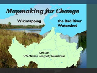
- 1. Mapmaking for Change Wikimapping the Bad River Watershed Carl Sack UW-Madison Geography Department
- 2. Problem How can online maps empower the views of local people in decisions regarding land use policy and natural resource development?
- 3. Online Participatory Mapping From Beverly et. al. 2008 (Canadian Journal of Forestry Research)
- 5. Case Study The Bad River Watershed: 1,061 Square Miles Mix of forest, wetlands, agriculture Bad River Indian Reservation (Ojibwe) 2010-2012 Mining Proposal Variety of landscape values
- 6. Design & Development User-Centered Design After Robinson et al. (2005)
- 7. Design & Development Stakeholder themes: Uses for science, information, narrative Stakeholder support and engagement Local outreach vital Concerns: moderation, private information control UCD Stages:
- 8. Design and Development Web application construction UCD Stages:
- 9. Deployment Wikimap Demo Behind the Scenes UCD Stages:
- 10. Evaluation Focus groups: Did the wikimap have a public impact on landscape values perception? True Value by Ann Singsaas
- 11. Acknowledgements Funding and support: Cartography Specialty Group Special thanks to Dr. Robert E. Roth