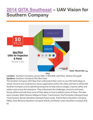
1. 2014 GITA Southeast – UAV Vision for
Southern Company
Date: November 14,
2015
Location: Southern Company; 30 Ivan Allen Jr Blvd NW, 15th Floor, Atlanta GA 30308
Speakers: Southern Company UAV Idea Team
The Southern Company UAV Idea Team will present their vision to use UAV technology to
retool, reinvent and revolutionize various applications within the utility and how it will benefit
Southern Company and its operating companies to help reduce outages, improve safety and
reduce costs across the enterprise. They will present the challenges, concerns and issues
facing utilities and will share some of their ideas on how to address some of these. The idea
team includes: Matt Clarkson (Alabama Power Transmission), Paul Schneider (Georgia Power
Transmission), Renato Salvaleon (Georgia Power Land), Patrick Norris (Southern Company
PMO), Drew McGuire (Southern Company R & D), and Dexter Lewis (Southern Company R &
D)
2. 2
2014 Utilities Industry Success
Stories with FME
Co-presenters: Renato Salvaleon, Jeff Dewitt, Paul Schneider
Find out how different utilities around the world are using FME, including several
case studies and guest presenters from Georgia Power.
3. 3
2014 Safe World Tour Atlanta
Description
A project's critical need for tax parcel data and the translation of the complex data
using a single transformer led to a timely completion of the project. The solution was
used for a statewide purchase of tax parcel data and a subsequent contract negotiation
saving the company a significant amount of money. The acquisition of the statewide
parcel data led to more complex uses of FME adding more cost savings and increased
productivity.
4. 4
2014 ESRI UC AEC Summit
Abstract
Sharing GIS to AEC users online and on the road
The intersection between GIS and survey is a known point and has long been
established as very important in the AEC community. The divide between surveyors
and GIS has been at most a beaten dead horse. The gap is narrower more than ever
and technology has played a very good part in make this almost nil. But still surveyors
and GIS professionals are not fully engaged. It is time to get everyone involved
seriously.
While bridges exist, doors still remain shut or sometimes barely open. Both sides need
to reach out and the concept of sharing in the context of GIS web and mobile solutions
may be that foot in the door to make the opening wider.
This highlights the use of an geospatial and ESRI web and mobile technology in
sharing geospatial information among a diverse group of AEC and geospatial
personnel in a Land department of a major utility in the southeast. Implementations of
web maps, mobile GIS and geoportals are utilized to share rich GIS and survey
information to our end users.
5. 5
2013 ESRI UC paper/presentation
ABSTRACT
Document Management and GIS working together for Land Records
The Records unit of the Georgia Power Company Land Department is where all
property research and recording related activities are conducted. Projects supported by
property researchers, record keepers and GIS analysts include transmission,
distribution, generation, land management and environmental activities.
The group intensively uses GIS and an application called Land Information
Management System - a 12-year old, in-house developed VB/Oracle database
application. LIMS has more than half a million property records and more than 100,000
plats, surveys and maps stored, recorded, maintained and used. The Land GIS system
is a mix of desktop, citrix, server and mobile products connected to terabytes of raster
and vector data and used by more than 300 individuals.
Having both tools is great but productivity and quality could be increased if the two are
integrated together with easier to use web GIS interface. Thus, LIMS and GIS were
integrated into one web applications