

Empfohlen
Weitere ähnliche Inhalte
Mehr von Masaki Ito
Mehr von Masaki Ito (20)
Kürzlich hochgeladen
Kürzlich hochgeladen (20)
Tottori Route Bus Map with OSM Technology
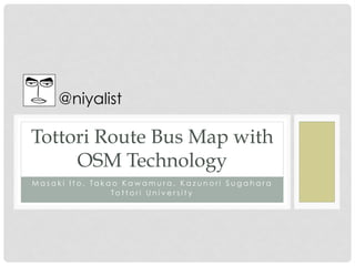
- 1. @niyalist Tottori Route Bus Map with OSM Technology M a s a k i I t o , Ta k a o K a w a m u r a , K a z u n o r i S u g a h a r a T o t t o r i U n i v e r s i t y
- 2. Route Bus Map • Find how to get to the destination • Representation for human • Need to read the map • Trace the route • Choose the appropriate path 作成:公共交通利用促進ネットワーク http://www.rosenzu.com/net/
- 3. Machine Readable Route Bus Map • Readable for a Computer Program • Accessible via Flexible API • Representing its topology, geometry etc. • Infrastructure for various IT services • Path finding system • Guidance for a tourist • Generate a beautiful route bus map automatically • etc…
- 4. Bus Location System • A smaprtphone on a route bus reports its location in every one minute. • Operating the system with 80 smartphones in Tottori City since last Dec.
- 5. Real-time Location of Route Buses • Never need to wait for a bus without knowing when it will arrive
- 6. Cannot Make a Precise Route Bus Map only with the GPS Data
- 7. Select the Paths from OpenStreetMap
- 8. Combine with the Bus Stop Database
- 9. Discussion • How to Contribute to the OpenStreetMap ? • Need to manage the route data on our custom DB for technical reason • How to feedback to the OpenStreetMap ? • Need to open the raw GPS data? • We need to open route bus map data under ODbL • How about the raw GPS data ? • Is it possible to marge with the existing bus stop DB • Bus stop DB is not under the open license