Jv r hsb antwerpen dec 2010
•Als PPT, PDF herunterladen•
1 gefällt mir•883 views

Jeroen van Reenen, aspects of surveying in the Port of Rotterdam
![Navigational depth ,[object Object],[object Object],[object Object],[object Object],[object Object],[object Object]](data:image/gif;base64,R0lGODlhAQABAIAAAAAAAP///yH5BAEAAAAALAAAAAABAAEAAAIBRAA7)
Empfohlen
Empfohlen
Weitere ähnliche Inhalte
Was ist angesagt?
Was ist angesagt? (20)
Andere mochten auch
Andere mochten auch (10)
Ähnlich wie Jv r hsb antwerpen dec 2010
Ähnlich wie Jv r hsb antwerpen dec 2010 (20)
Mehr von Hydrographic Society Benelux
Mehr von Hydrographic Society Benelux (20)
Jv r hsb antwerpen dec 2010
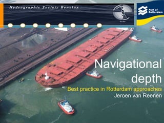
- 1. Navigational depth Best practice in Rotterdam approaches Jeroen van Reenen
- 8. Port of Rotterdam / Rijkswaterstaat
- 13. Minimum UKC Berge Stahl 343 m long 63 m wide 365.000 T 354.000 T @ 23m 3 deg roll, 1.65m
- 15. 4 Density surveying Echosounder depth 1.2 T/m3 depth
- 21. Van Veen grab
- 24. Check on measurements against calibration
- 26. TIN model
- 27. Isopach DTM
- 28. SILAS raw data Digital 200 KHz SILAS 1.2 density Echo “noise”
- 31. Monitor tracks
- 32. Long sections
- 34. Multibeam depth (240 KHz)
- 35. Navigational depth (1200 g/l)
- 40. Silas results
- 42. Free fall Beeker sampler
- 45. Siltprofiler
- 46. OBS data
- 49. Current profiles
- 51. Salinity Flud from Sea River flow Wedge mixing Surface mixing
- 54. Windforce 2009
- 57. Temperature / Siltation layer
- 58. Thank you for your attention