![CIVILEX 2009 ,[object Object],[object Object],[object Object]](data:image/gif;base64,R0lGODlhAQABAIAAAAAAAP///yH5BAEAAAAALAAAAAABAAEAAAIBRAA7)
Recommended
Recommended
More Related Content
What's hot
What's hot (20)
Similar to Civilex Presentation Laser Scanning And Gpr March 2009 Ices
Similar to Civilex Presentation Laser Scanning And Gpr March 2009 Ices (20)
Recently uploaded
Recently uploaded (20)
Civilex Presentation Laser Scanning And Gpr March 2009 Ices
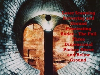
- 1. Laser Scanning Surveying and Ground Penetrating Radar – The Full Three Dimensional Picture Above and Below Ground
- 7. GPR Principle of Operation
- 8. GPR 2D Example section Top 400 MHz, Bottom 900 MHz
- 11. GPR Grids
- 12. GPR – Geological Mapping
- 13. GPR – Cavity/Void Detection
- 14. GPR – Basements/Coal Stores
- 15. GPR 3D Depth Slice GPR data collected in a series of profiles / grid data can be processed as a series of depth slices or as a 3D data Cube.
- 16. GPR – Utility Map
- 17. 3D GPR CAD Image
- 25. Above and Below Ground Data
- 28. Cross Sections
- 29. 2D Plan Drawings
- 30. 3D Drawings
- 31. Modelled Surfaces Mesh Model Created From Laser Scan Point Cloud Data Grid of Points at 100mm Spacing Created From The Mesh Model
- 33. TruView
- 34. Contact Details Unit F4, Maynooth Business Campus, Maynooth, Co. Kildare, Ireland TEL: 01 6510030 FAX: 01 6510033 e-mail: [email_address] Toughers Business Park Newhall Naas, Co. Kildare, Ireland TEL: 045 435880 FAX: 045 437594 e-mail: [email_address]