2009 Fall Regional - GIS and Wildfire Mngt
•Download as PPT, PDF•
1 like•290 views

![[object Object],Incorporating GIS Technology into Wildland Fire Management in Wisconsin Saratoga Fire (1976)—90 structures lost Oak Lake Fire (1980)--159 structures lost](data:image/gif;base64,R0lGODlhAQABAIAAAAAAAP///yH5BAEAAAAALAAAAAABAAEAAAIBRAA7)
Recommended
Recommended
More Related Content
Viewers also liked
Viewers also liked (13)
More from Wisconsin Land Information Association
More from Wisconsin Land Information Association (20)
Recently uploaded
Recently uploaded (20)
2009 Fall Regional - GIS and Wildfire Mngt
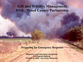
- 1. GIS and Wildfire Management DNR / Wood County Partnership Preparing for Emergency Response Wisconsin Land Information Association Fall Regional Meeting October 20, 2009 – Eau Claire, Wisconsin
- 7. Atlas Uses and IMT Responses Wildland Fire Incident Response Training Tornadoes Flood Response
- 8. An “Up-to-the-Minute” Example of DNR/County GIS Cooperation
- 9. Using the 1994 level of data availability yields a very general map The data shared by the Counties this fall has yielded a far more accurate representation of the level of development across the state
- 10. Questions?
Editor's Notes
- This is probably the most popular picture to come out of the 2000 National fire season. Following is the story of the picture: "The Elk Bath picture was taken by the Alaskan Type I Incident Management Team on August 6, 2000 on the East Fork of the Bitterroot River on the Sula Complex. This photograph was taken with a digital camera and is not available in high resolution. If you use this photo, please credit the Alaskan Type I Incident Management Team. Photographer: John McColgan, Bureau of Land Management, Alaska Fire Service."