Pathways through the Avebury landscape
•
0 likes•472 views

The document discusses using GIS and 3D modeling techniques to analyze spatial relationships and visibility within the Avebury prehistoric landscape. Specifically, it focuses on analyzing dynamic and static viewsheds along the hypothesized path of the Beckhampton Avenue. Technical details are provided on building a DEM from contour data, calculating viewsheds in GIS, reconstructing the landscape and archaeological features in 3D, and efforts to dynamically link the GIS and 3D model applications. The analysis of cumulative viewsheds along the avenue's path revealed areas that would have been particularly visible.
![Introduction - the Avebury landscape ,[object Object],[object Object],[object Object]](data:image/gif;base64,R0lGODlhAQABAIAAAAAAAP///yH5BAEAAAAALAAAAAABAAEAAAIBRAA7)
Recommended
Recommended
More Related Content
What's hot
What's hot (20)
Similar to Pathways through the Avebury landscape
Similar to Pathways through the Avebury landscape (20)
More from Paul Cripps
More from Paul Cripps (20)
Recently uploaded
Recently uploaded (20)
Pathways through the Avebury landscape
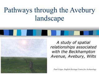
- 1. Pathways through the Avebury landscape A study of spatial relationships associated with the Beckhampton Avenue, Avebury, Wilts Paul Cripps, English Heritage Centre for Archaeology
- 9. Aerial view of the reconstruction
- 15. For more information, please see: Thanks to Dave Alexander, Alistair Carty, Graeme Earl, Mark Gillings, Pete Glastonbury , Tom Goskar, Becky Poole, Anton Prowse, and Dave Wheatley.Thanks also to NERC, the funding body for my MSc, and English Heritage, my current employer.