Nederlands Hydrografisch Instituut – 25 jaar
•Als PPT, PDF herunterladen•
0 gefällt mir•909 views

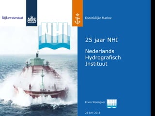
Workshop "Human Resources" 21 juni 2011 Scheveningen Erwin Wormgoor - Dienst der Hydrografie en Rijkswaterstaat Directie Noordzee
![Sinds 1 juli 1986 ,[object Object],[object Object],[object Object],[object Object],[object Object],[object Object],25 jaar NHI Rijkswaterstaat en Koninklijke Marine](data:image/gif;base64,R0lGODlhAQABAIAAAAAAAP///yH5BAEAAAAALAAAAAABAAEAAAIBRAA7)
Empfohlen
Empfohlen
Weitere ähnliche Inhalte
Andere mochten auch
Andere mochten auch (18)
Mehr von Hydrographic Society Benelux
Mehr von Hydrographic Society Benelux (20)
Nederlands Hydrografisch Instituut – 25 jaar
- 1. 25 jaar NHI Nederlands Hydrografisch Instituut Rijkswaterstaat