De scheurrak
•Download as PPT, PDF•
0 likes•667 views

Presentatie over De Scheurrak als snel survey platform voor binnenwateren.
![Even voorstellen ,[object Object],[object Object],[object Object],[object Object]](data:image/gif;base64,R0lGODlhAQABAIAAAAAAAP///yH5BAEAAAAALAAAAAABAAEAAAIBRAA7)
Recommended
Recommended
More Related Content
More from Hydrographic Society Benelux
More from Hydrographic Society Benelux (20)
De scheurrak
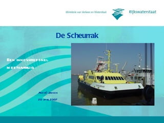
- 1. De Scheurrak Een innovatief snel meetvaartuig
- 5. Specificaties Scheurrak Specifications Technical specs Operational Conditions Height (with and without antenna mast) 10.85 m 6.30 m Max. transit speed 25 knots Length o.a. 26.50 m Nom/Max. survey speed 6-10/14 knots Width o.a. 10.30 m Survey equipment Max. draught 1.10 m Design (1.20m Real) Multi beam echo sounder Reson 8101 Weight (GT/NT) 161GT/ 48NT Single beam echo sounder EA 400 Engin e 2xMTU type 12V 2000 M70 each 1100HP Positioning system DGPS-LRK Propulsion 2 waterjets Hamilton HM651 Gyro/motion sensor IXSea Octans Data acquisition & validation software Qinsy
- 6. Stuurhuis
- 11. Wrak
- 13. Filmpje
- 14. Ecologieruimte
- 16. Werkdek
- 18. Computerkasten