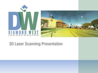
3D Survey and Visualization
Diamond West utilizes LIDAR (Light Detection and Ranging) 3D scanning technology to digitally reconstruct an existing environment in a 3D digital model with sub-centimeter accuracy.
Digitally scanned data can be modeled in 3D or converted to 2D drawings (plan view, elevation cross section, and topography) for export to any standard CADD platform. Scanned information is linked together to form a comprehensive digital image.
Applications include:
Architectural as-builts, historic preservation/archive, structural steel mapping/cataloging, conceptual design and interference checking, fabrication and construction inspection, manufacturing and reverse engineering, topographic mapping, accessibility renovations, civil traffic and utility planning, as-builts for plant facilities, movie industry; the list goes on. If you can see it, you can scan it.
Advantage to using LIDAR 3D Scanning Technology:
Reduces field work, reduces risk of liability for field crews, competitive cost to conventional surveying, dramatically increases available information without multiple site visits, creates (sub-centimeter) accurate 3D models, remote sensing/minimizes need for access to structures.
High-definition 3D scanning provides: more accurate base mapping, detailed information along structural facades from the ground to the sky, documentation of not only surface conditions but also building conditions. Due to the potential for design and construction abutting building façades, the sub-centimeter accuracy will be a vital design and construction quality control tool.
The scanned 3D model can also be used in the future as a visualization tool by generating “fly-by” animated movies and still frames from any requested vantage point.
In summary, the use of sub-centimeter accurate 3D survey data will provide the design team with the accuracy needed to ensure proper quality control for design and construction activities. This technology will also provide the community and decision-makers with an extremely useful visual aid tool in evaluating the proposed design against existing conditions.
2. Overview
Diamond West utilizes LIDAR (Light
Detection and Ranging) 3D scanning
technology to digitally reconstruct an
existing environment in a 3D digital model
with sub‐centimeter accuracy.
Digitally scanned data can be modeled in
3D or converted to 2D drawings (plan view,
elevation cross section, and profiles) for
export to any standard CADD platform.