This PowerPoint helps students to consider the concept of infinity.
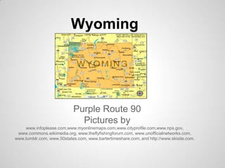
Wyoming, Purple Route 90
1. Wyoming
Purple Route 90
Pictures by
www.infoplease.com,www.myonlinemaps.com,www.cityprofile.com,www.nps.gov,
www.commons.wikimedia.org, www.theflyfishingforum.com, www.unofficialnetworks.com,
www.tumblr.com, www.50states.com, www.bartertimeshare.com, and http://www.skisite.com.
2. 1. Relative Location
Wyoming is south of Montana, north of
Colorado, east of Idaho, and west of South
Dakota.
1. Absolute Location
The absolute location of Wyoming is 41
degrees north and 104 degrees west.
3. Regions
1. Wyoming is in the Mountain time zone.
2. Wyoming is in the Rocky Mountain region
4. Place
1. Wyoming has many landmarks. Two of them
are Old Faithful Inn and the Wyoming State
Capitol.
2. There are many landforms in Wyoming. They
include Devil's Tower, Fossil Butte, Grand
Tetons, and Old Faithful.
5. Place
3. One tradition in Wyoming is that the Eastern
Shoshone Indian tribe has a big festival
every year.
4. The climate of Wyoming is18 degrees in the
winter and 67 degrees in the summer.
6. Movement
1. In Wyoming they use many different
things to get around. The main ones are
Cheyenne airport, Interstate 90, 80, 25,
train stations, and snow cats(snowcats
are cars that have skies on the bottom of
them to get up snowy mountains.)
1. Wyoming exports coal, glass, paper,
toothpaste, soaps, and baking soda.
8. Human Environment Interaction
1. Wyoming adapts to the weather in the winter
by plowing roads because in the winter it
snows a lot.
1. Wyoming modified the land to make farms
for sheep, cattle, cows, and other farm
animals. They put fences around the land
so the animals wouldn't escape and built
barns for shelter for the animals.